Real-Time Cloud Data with Merge HoloGlobe
With Real-Time Cloud Data in Merge HoloGlobe, your students won’t just learn about clouds—they’ll explore them in the same way NASA scientists do.
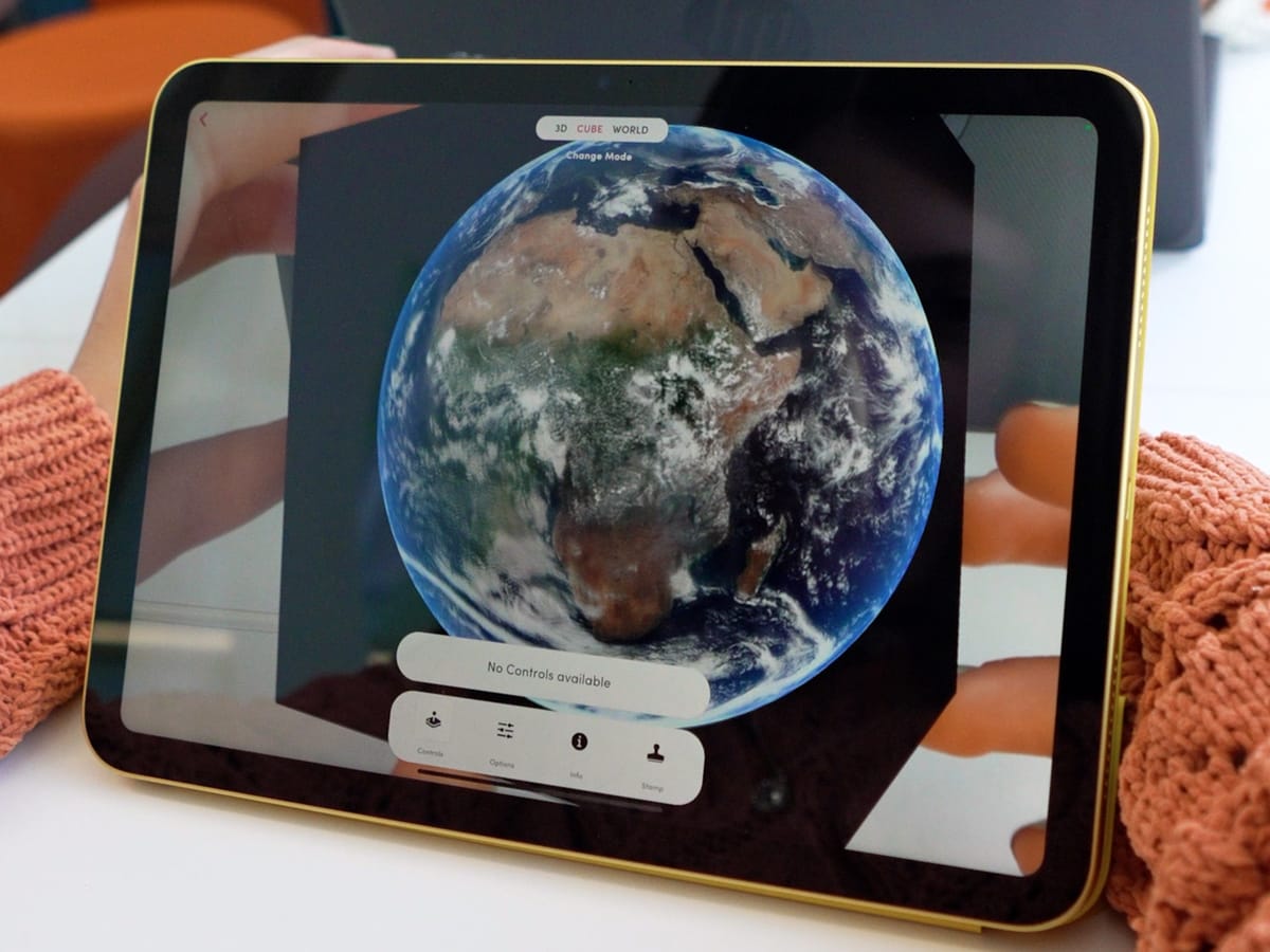
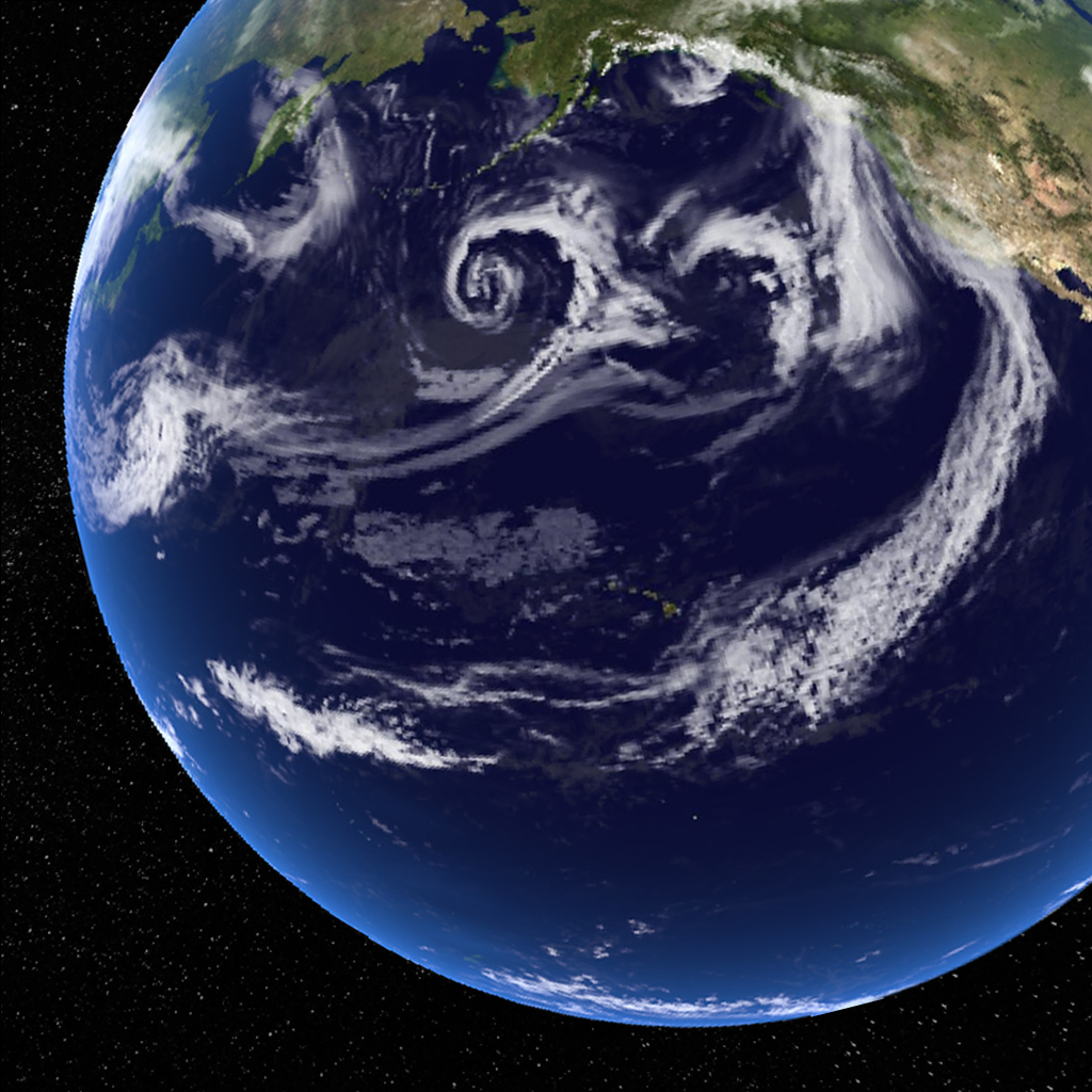
Every day, clouds move across our skies, shaping weather patterns, influencing climate, and affecting life on Earth in countless ways. With Merge HoloGlobe, students can see our planet’s real-time cloud coverage exactly as it appears from space—updated using the latest information from NASA’s Terra and Aqua satellites.
Powered by NASA’s MODIS Technology
The cloud coverage in this activity comes from the MODIS, or Moderate Resolution Imaging Spectroradiometer, instruments aboard NASA’s Terra and Aqua satellites. These high-tech sensors capture detailed images of Earth’s surface and atmosphere, measuring cloud formation, density, and movement with remarkable accuracy. This means that what students are viewing in HoloGlobe is the most up-to-date cloud coverage available, just as scientists and meteorologists see it.
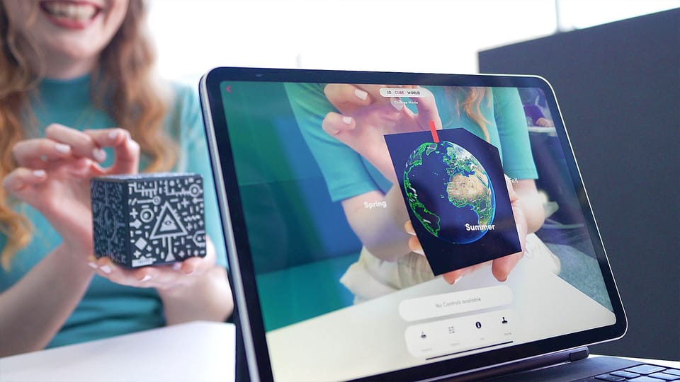
A Global View from the Palm of Your Hand
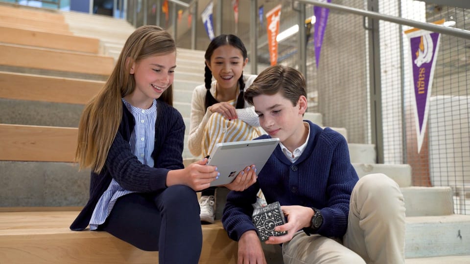
Using a Merge Cube and HoloGlobe, students can hold the Earth in their hands and rotate it to explore cloud patterns all over the world. They can zoom in on specific regions to see where storms are developing, track areas of heavy cloud cover, and identify cloud-free zones. By observing changes over time, learners can better understand the relationship between cloud coverage and weather systems.
Bringing Data Science into the Classroom
The Real-Time Cloud Data activity offers more than just beautiful imagery—it’s a tool for teaching data literacy and scientific observation. And with the brand new HoloGlobe activity plans, students can take the learning even further! Here is the “Clouds” activity plan for 3rd - 8th graders.
Each activity plan starts with essential questions, an objective, then step-by-step instructions which guide students through using the app, as well as helpful information and context. And, each activity plan ends with assessment options and extension ideas, and the NGSS standards are printed at the end of each activity plan.
If your school doesn’t use NGSS, don’t worry – you’ll find the US state and international science standards here.
Students will make predictions about upcoming weather, discuss the role of clouds in Earth’s energy balance, and connect atmospheric data to concepts in climate science. Because the data is real and constantly updated, every time they use the activity, they’re working with fresh information—just like professional scientists.
From Classroom Curiosity to Scientific Understanding
By exploring real-time cloud coverage, students gain a deeper appreciation for how interconnected Earth’s systems are. They can see how clouds form and move, how they affect sunlight reaching the surface, and how weather patterns shift across continents. This hands-on experience with real-world satellite data helps bridge the gap between classroom learning and the work being done in space-based Earth observation today.
New to Merge EDU? Start your free trial today by visiting trymerge.com.